Bike Path Planner improves meetings with involved parties
Cleantech Region
Bike Path Planner improves meetings with involved parties
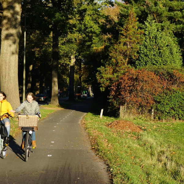
Cleantech Region wants to make cycling more attractive as a form of transport to work, school, the station or the shops. For better regional connectivity, they are working towards creating a ‘cycling backbone’ of smooth, safe routes. The Deventer-Zutphen route is an important part in this. The Bike Path Planner helped.
Background
Cleantech Region wanted a well-thought-out and popularly supported proposal for alternative bicycle routes. Together with the Municipalities of Deventer, Lochem and Zutphen, the Province of Gelderland, and the Dutch Cyclists’ Union – and under assignment to Cleantech Region – Witteveen+Bos explored a range of possible routes. With the help of the Bike Path Planner, various options were investigated, with the primary aim being to entice commuters to use their bicycles more often and make it possible to travel the fifteen kilometres between Zutphen and Deventer in a sustainable and healthy manner.
Many variations
During the design process, two routes were optimised: a rural route and one running parallel to the N348 road. After having explored many variations in terms of spatial integration, safety, and technical feasibility – among other aspects – a combined route was finally presented. The Bike Path Planner was used to support the process.

Application of the Bike Path Planner
During working groups, the Bike Path Planner was shown on a large screen. Suggested route variants could be sketched and discussed immediately. This manner of working is efficient and saves time and money. As well as this, plots and zoning plans along the route were immediately visible. This meant, for example, that a route which crossed four private plots zoned for ‘nature’ could be rejected during a meeting. Ultimately, many alternatives were generated, but they all remained clear and accessible, allowing the professionals involved to review and add to the options at a time which suited them.
Bike Path Planner
Want to know more?
Martijn specialises in cycling and public transport and is equipped with a toolbox of instruments for data-driven design and behavioural change.
