Pedestrian Traffic Monitor
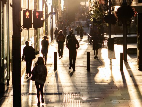
We wander down to the supermarket, walk home from the station or go out for a stroll: all of us walk. This has its advantages – it is healthy and good for the environment, and people walking around makes a neighbourhood lively and social. That is why more and more cities want to make the physical living environment attractive for pedestrians, and why project developers and urban planners are working to develop sustainable and active neighbourhoods.
Watch the webinar back here (Dutch)
Problem: Where are the pedestrians?
Cities lack the information and tools to identify where pedestrians are present, where network bottlenecks occur, or where attractive features can be found. This makes informed pedestrian policies difficult to achieve and also hinders effective urban development choices and good management.
Developers and designers have no means of quickly and quantitatively evaluating or monitoring the quality and accessibility of walking infrastructure within the current design process. The Pedestrian Traffic Monitor offers assistance. Want to know more? Read here more about the CVS Congres.
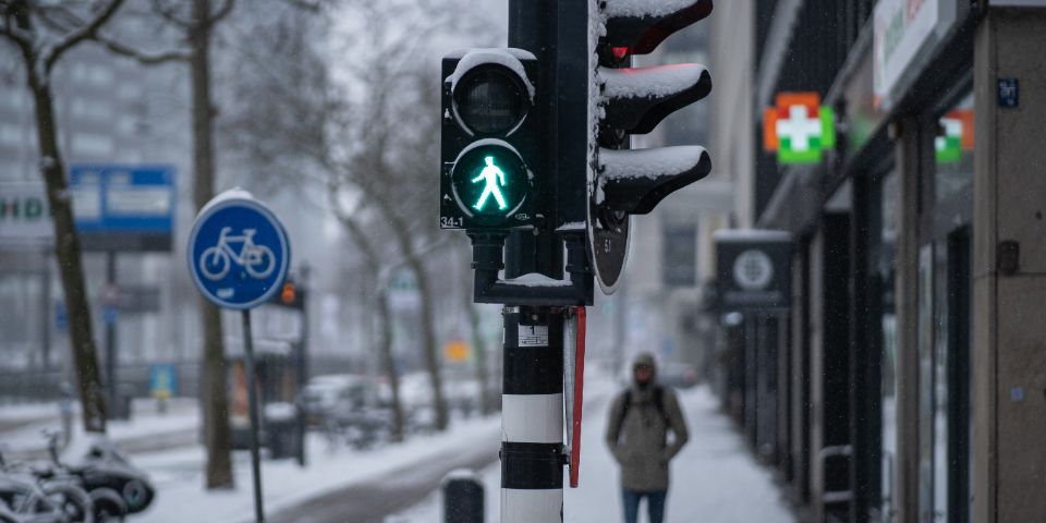
Insight into pedestrians and the pedestrian network
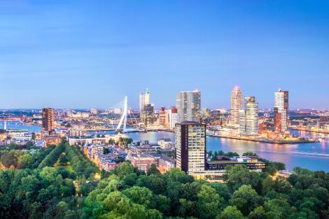
A team of Witteveen+Bos data and mobility experts developed the LoopMonitor in collaboration with the Municipality of Rotterdam. This data-driven analysis platform provides insight into pedestrians and the pedestrian network, allowing cities and developers to design for and actively prioritise this sustainable, efficient and active mode of transport. The Pedestrian Traffic Monitor provides information per neighbourhood or city and displays the level of intensity, capacity and quality for pedestrians at street level.
The Pedestrian Traffic Monitor provides answers
This digital platform uses a machine learning model to analyse the patterns of your city’s pedestrians and then produces map layers which answer questions such as:
- Where do people walk? Where is it busy and where is it quiet?
- Which factors have the biggest influence on local pedestrians? What value do greenery, amenities and wide pavements add to the area?
- What impact would a particular spatial intervention have on pedestrian intensity? What effect would a pedestrian bridge have at one location or another?
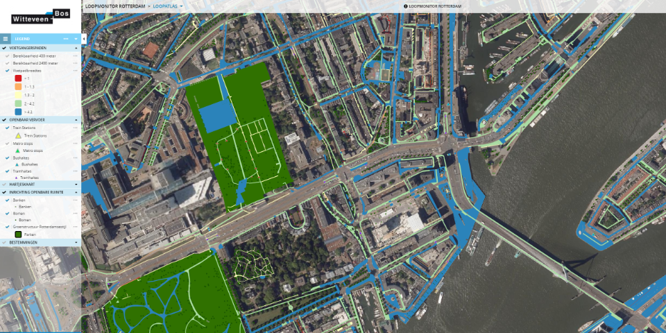
Benefits of the Pedestrian Traffic Monitor

Complete and detailed insight
The Pedestrian Traffic Monitor provides insight at neighbourhood and city level into both the current and future situation.

Data-driven prioritisation and planning
The Pedestrian Traffic Monitor is a data-driven analysis platform that provides insight into pedestrians and the pedestrian network. This allows cities and developers to actively prioritise and plan.

Objectively and quantitatively weigh up policies, designs and scenarios
A machine learning model is used to identify pedestrians’ patterns. This provides insight and makes it easier to make choices.
.jpg)
More information?
.jpg)
Wim advises on integrated mobility solutions. The Pedestrian Traffic Monitor helps to map the quality of pedestrian networks.

